53.4167° N 3.0000° W
Categories
Twitter
In The Shop

Entries in Maps (19)

Monday
Jan162017

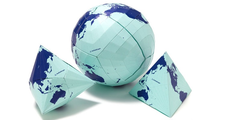
AuthaGraph World Map | Hajime Narukawa | Kanagawa (JAP) | By Lee Fleming

We recently came across the AuthaGraph world map, designed by Japanese architect Hajime Narukawa. Having broken the planet into 96 equal parts, Narukawa combined different projections of the Earth to create a globe-like tetrahedron that unpacks into a rectangular map. The AuthaGraph world map displays shape and size with the precision of the Dymaxion map, but remains rectangular, just like the Mercator.

To find out more check out Narukawa's TED talk and/or visit the AuthaGraph website.

Wednesday
Nov022016

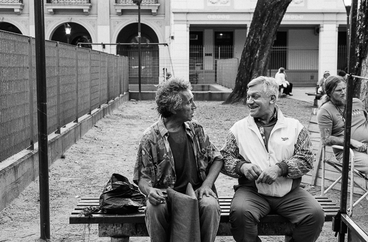
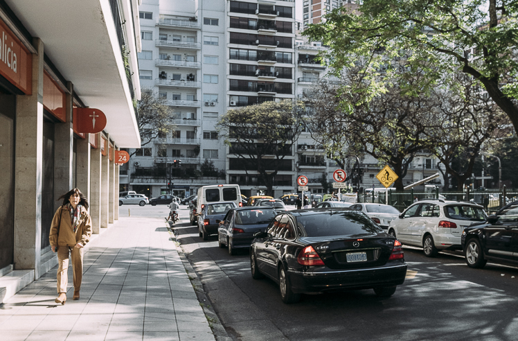
Travel Update | Buenos Aires (ARG) | By Michael Gannon

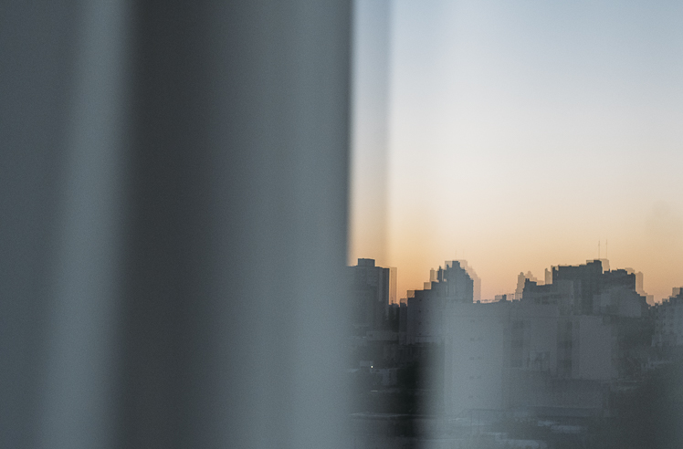
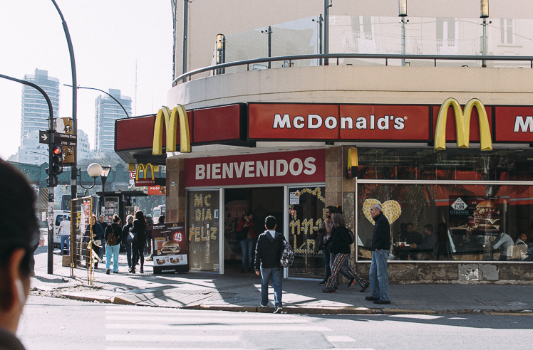
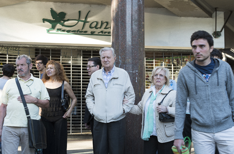
I made the decision to move to a new city to take on a new challenge and enhance my photography. That city is Buenos Aires, Argentina. I find travel photography has a unique ability to transport people from their daily lives. I certainly feel more aware of my surroundings when I am in a new city, (as I’m sure most photographers do). The uncertainty of things, the mystery of it all and countless unrepeatable, fleeting scenarios of people in their environment, their gestures, their poses. Alongside preparing our next IDMC° Map of the Argentinian Capital we'll be corresponding on our daily experiences.

Follow our Instagram (@independentmap) to keep up-to-date with what we discover.

Monday
Apr252016

Branded Cities | Corrado Grilli | Milan (ITA) | By Lee Fleming

Milan-based graphic designer Corrado Grilli has literally gone in circles to create 'Branded Cities'. Grilli has used Google Maps to create a series of screenshots that showcase iconic logos including A Bathing Ape, Palace, Jordan, Supreme, GARÇONS PLAY and Carhartt. Using Google Maps blue direction router across the maps of various cities he's successfully envisaged these internationally recognised names on a map.

To view more of Grilli's portfolio visit his website and/or behance.

Tuesday
Nov032015

JOHN NELSON | GLOBALL SHIPPING VISUALIZATIONS | LANSING (USA) | By Lee Fleming

A recent web wander for interesting cartography resulted in me stumbling upon John Nelson's behance, the Lansing-based cartographer and User Experience designer creates maps out of expansive data. Most recently is the Global Shipping Visualization (October 2015) which maps out the shipping traffic networks for tankers and cargo ships.

View more of John Nelson's work on his behance or his 'Adventures In Mapping' website.

Thursday
Oct082015

All You Can Eat Press | Brooklyn, New York (USA) | By Lee Fleming

All You Can Eat Press is a Brooklyn-based independent publishing company that champions everyday good for everyday people. Created and published by Yuki Matsuo, the All You Can Eat maps are designed neither to be a gourmet guide or a critical survey but a honest celebration of the best everyday eats in New York.

Having started with the Doughnut map, Yuki has grown the All You Can Eat series to include burgers, ramen, diner, oysters and croissants in Paris. Beautifully illustrated, each fold-out map is easily digestible and features hard-to-find local food knowledge alongside collaborations with The New York Pizza Project, Julie Qiu of In A Half Shell and Yuriko Yamamoto, a pâtissière and European pastry researcher. The attention to detail with each All You Can Eat map is commendable, printed in New York the white, in coated maps are a manageable size while on the move (7.5" x 3.5" folded; 15" x 21" open). Protected in a wax paper food bag with a rubber stamp sticker seal, the Burger map even includes a wet wipe for greasy fingers.

Highly recommended when visiting New York whether you're a foodie or not, we're just jealous of the painstaking research Yuki had to endure in trialling all the recommendations on the map, especially the doughnuts!

To find out more visit the All You Can Eat Press website.

Page 1 2 3 4 ... 4 Next